Book Site Visit : 7200 141 515
Book Site Visit : 7200 141 515

Projects
Plots
Apartments
Farm Lands
Commercial
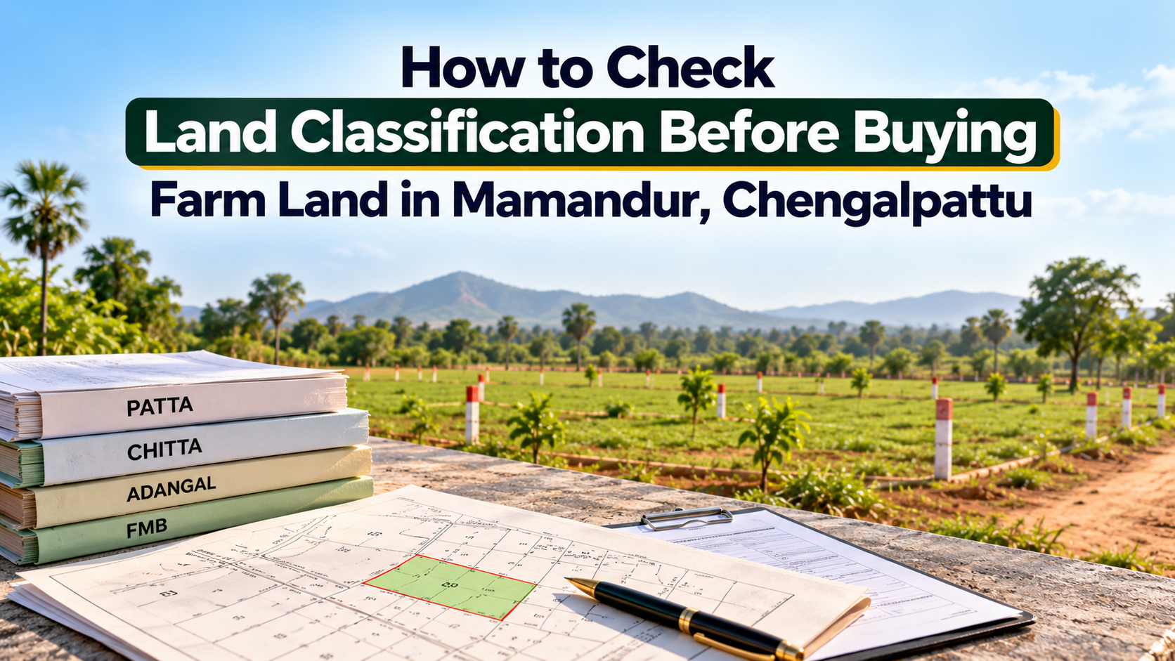
Buying farm land can be an important decision for people planning agricultural activities, long-term land ownership or a green space outside the city. However, before purchasing any agricultural property, understanding its official land classification is essential.
For buyers exploring farm lands in Mamandur, Chengalpattu, checking whether a property is recorded as agricultural land, reviewing revenue documents and confirming permitted land use can help prevent complications after purchase.
A property's appearance alone does not establish its legal classification. Even if a site has open fields, trees or agricultural surroundings, buyers should verify its status through official records.
Land classification refers to how a particular property is recorded in government revenue and land administration records.
In Tamil Nadu, land records may identify properties under different categories depending on their recorded nature and use.
Common terms buyers may encounter include:
Nanjai: Land traditionally classified as wet or irrigated agricultural land.
Punjai: Land traditionally classified as dry agricultural land.
Government poramboke: Land recorded under government ownership or public purposes, with further classifications depending on its designated use.
Other recorded categories: Land may have specific classifications or restrictions that require verification.
These terms should not be treated as complete confirmation of what can legally be done with a property.
The exact classification, ownership status and applicable restrictions must be checked against current official records.
Land classification can influence how a property may be used and what permissions may be necessary.
A buyer intending to cultivate crops may have different requirements from someone hoping to build a farmhouse or use the land for recreational purposes.
Checking the classification can help you understand:
The property's recorded land category
Whether the intended use requires additional permission
Potential restrictions affecting development
The importance of checking land-use planning rules
Whether further clarification is needed from government authorities
Verifying these details before purchase can help buyers make decisions based on documented information rather than assumptions.
A Patta is an important revenue record associated with land in Tamil Nadu.
Depending on the type of property and record, it may contain information such as the Pattadar's name, survey number, subdivision number and land extent.
When reviewing Patta details, check whether:
The recorded particulars match the property being offered
Survey and subdivision numbers are consistent
The land extent matches supporting records
The seller's claimed ownership is supported by the relevant documents
A Patta is a revenue record and should not be treated as conclusive proof of ownership by itself.
An independent property lawyer should examine the title documents and relevant records before the purchase.
Chitta and Adangal are commonly referenced when examining agricultural land records in Tamil Nadu.
Historically, Chitta has contained information relating to land classification and revenue particulars. Relevant Chitta information may now be incorporated into computerised Patta/Chitta extracts.
Adangal records generally relate to agricultural land details, including cultivation and other revenue-related entries.
Buyers should check the current records available for the relevant village and survey number.
If there are differences between records, seek clarification from the appropriate revenue office rather than relying on verbal explanations.
Every land parcel should be identified using the correct survey details.
When considering farm land in Mamandur, compare the survey number and subdivision mentioned in the sale documents with the relevant revenue records.
Check the following:
Village name
Survey number
Subdivision number, where applicable
Recorded land extent
Boundaries described in the title documents
If the property forms part of a larger survey field, confirm that the portion being sold is properly identified.
An independent licensed surveyor can help verify the physical boundaries against available survey records.
The Field Measurement Book, commonly known as FMB, contains survey-related measurements and sketches used in land administration.
An FMB sketch can help buyers understand the recorded configuration of a parcel and its relationship to adjoining survey fields.
However, an FMB sketch alone does not establish ownership or guarantee that the visible boundaries on the ground are correct.
For greater clarity, buyers should compare the sketch with supporting documents and arrange a professional survey where necessary.
Buyers should use official government records when checking land classification.
Tamil Nadu's e-Services portal provides access to certain land and revenue records, subject to the availability of information for the relevant location.
Official portal: https://eservices.tn.gov.in/
A practical verification process includes:
Identify the correct district, taluk and revenue village.
Obtain the property's survey and subdivision numbers.
Review the available Patta/Chitta and classification details.
Compare the records with the documents provided by the seller.
Seek clarification from the relevant revenue authority if information is incomplete or inconsistent.
Online records are useful for preliminary checks, but they may not answer every legal or land-use question.
One of the most important points for farmland buyers is that agricultural land ownership does not automatically provide permission to construct a residential building.
A buyer may wish to develop a farmhouse, storage structure or other facility on the property.
However, whether such construction is permitted depends on applicable planning regulations, land-use restrictions and approvals.
Before making construction plans, confirm:
The recorded land classification
Applicable planning or zoning restrictions
Whether the proposed use is permissible
Whether land-use conversion or other permission is required
Which authority is responsible for granting approval
Consult the relevant planning authority and qualified professionals before assuming that construction will be allowed.
A property that appears vacant or privately occupied should not automatically be assumed to be privately owned and freely transferable.
Buyers should verify whether the land is affected by government ownership, waterbody classifications, public pathways or other restrictions.
Depending on the location, additional checks may be necessary concerning:
Water channels and drainage paths
Public access routes
Government land classifications
Existing rights of way
Planning restrictions
Other legally recorded interests
An independent legal review can help identify issues requiring further investigation.
Revenue records and registered title documents serve different purposes.
Revenue records help identify recorded land particulars, while title documents are essential to examining the legal basis of ownership and transfer.
Before purchasing farm land, ask a qualified property lawyer to review the relevant documents, which may include:
Parent documents and title history
Registered sale deeds
Encumbrance Certificate
Patta and available revenue extracts
Survey and subdivision records
FMB sketch
Relevant approvals or permissions, where applicable
The required checks may differ depending on the property's history and circumstances.
Do not proceed solely because a single document appears satisfactory.
Document verification should be supported by a physical inspection.
During a site visit, observe whether the land boundaries, access arrangements and surrounding features appear consistent with the available records.
Look for visible water channels, pathways, neighbouring land use and possible encroachments.
If anything differs from the documents, request clarification before proceeding.
A professional survey and legal review can help resolve concerns that cannot be assessed through visual inspection alone.
For buyers considering agricultural land in the Chengalpattu region, reviewing project information and relevant documents is an important part of the selection process.
Those exploring farm lands in Mamandur, Chengalpattu, with i5 Housing can enquire about available properties, arrange a site visit and request the relevant land particulars for independent verification.
Before finalising any property, confirm that its classification, ownership records, access and permitted uses are suitable for your intended purpose.
Land classification is one part of a broader property due diligence process.
Before paying a booking amount or entering into a purchase agreement, ensure that important questions have been addressed.
These include whether the property has a clear and transferable title, whether the survey details match the physical land and whether your intended use is legally permissible.
Where clarification is required, consult the appropriate government authority, an independent property lawyer or a qualified surveyor.
Taking these steps early can help reduce the risk of unexpected complications.
Understanding land classification is an essential step when buying farm land in Mamandur, Chengalpattu.
Checking Patta, Chitta, Adangal, survey details and FMB records can help buyers understand how a property is recorded. Equally important is confirming ownership, land-use restrictions and any permissions required for the intended activities.
A careful review of official documents, supported by professional legal and survey advice, can help buyers make a more informed property decision.
Explore farm land opportunities in Mamandur, review the relevant property details and take the next step towards informed land ownership with i5 Housing.
First Floor, No. 10B, Ekambaram Industrial Estate Rd, Alapakkam, Karpaga Vinayagar Colony, Valasaravakkam, Chennai, Tamil Nadu 600116


© All Rights Reserved | Website Designed & Developed By  GlintCreatives.com